Re-purposing jotter.io Feb 12 2017

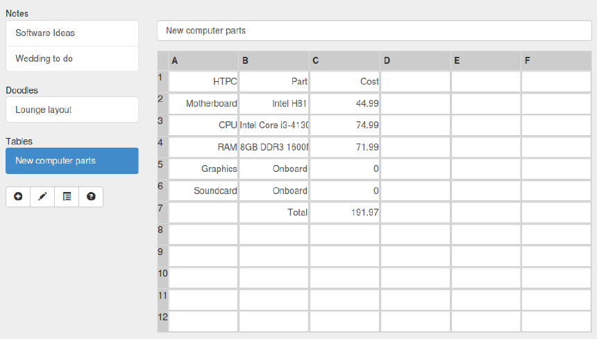
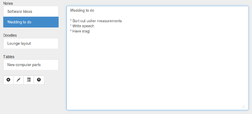
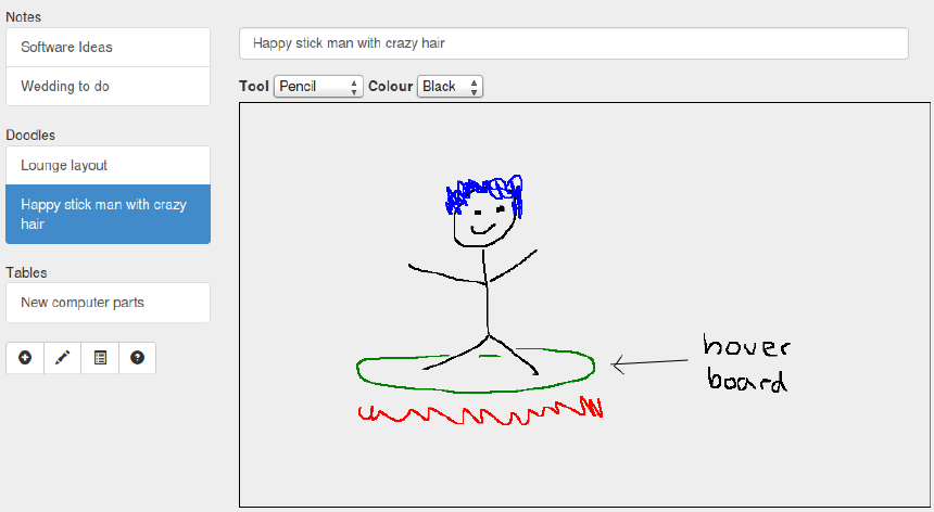
Jotter.io was a simplistic note taking application enabling you to take notes in three forms: notes, doodles and tables. Jotter was built in a responsive way to ensure maximum support for a variety of devices. All forms of note automatically save on the fly.

Jotter.io was one of my first web projects and never really took off, primary because I started using FastMail which solved the problem I had with note taking on the web and so never finished it.

I’ve decided to re-purpose jotter.io so the site will be re-launching soon with a new purpose!

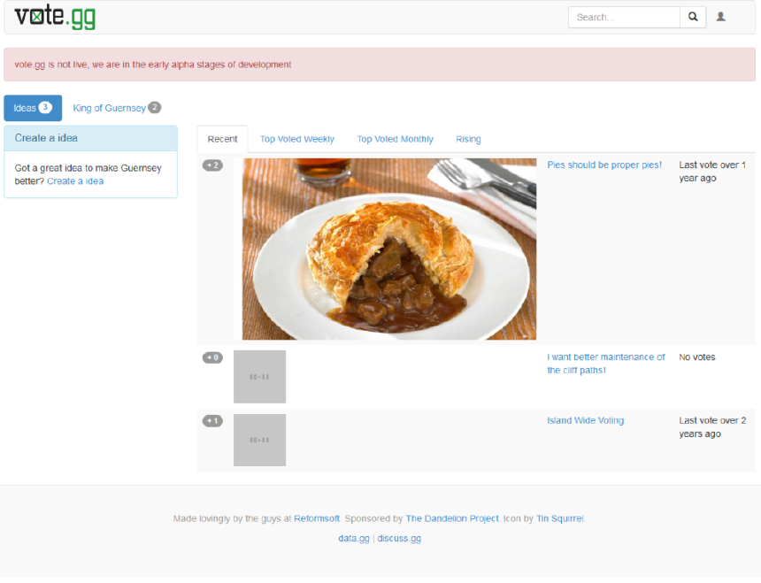
For portfolio purposes, I’ve attached some screenshots of the app.


Closing up vote.gg Feb 12 2017

This is just a post to note that I’m closing up vote.gg, I’m not going to have the time to do the project justice and I haven’t worked on it in some time. And to be honest I’ve lost faith in the system after Brexit and Donald Trump. The domain expires in 2018 – if anyone wants it for a good cause let me know.

vote.gg was going to be a site for voting on and building legislation in a mash up of Reddit and Wikipedia. People would be able to post the initial document and others would be able to amend and add pros/cons. After a few rounds, the document would be put to a vote. We planned to have anonymous voting and even delegated voting. Delegated voting would be saying “I know nothing about this subject but my good friend Jason Magee does – he can decide on my behalf”.

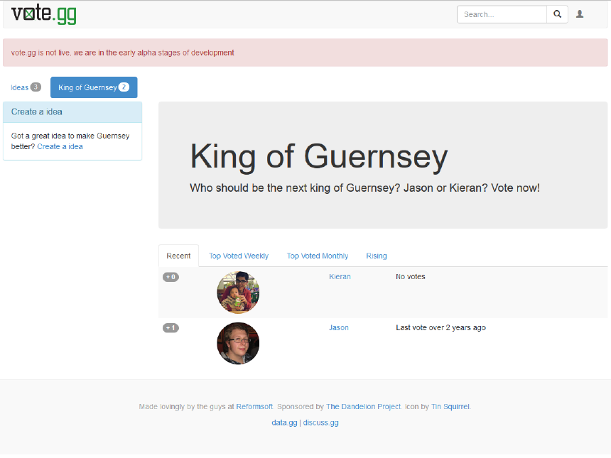
Anyway, just for portfolio purposes, I’ve attached some screenshots of how far we got as I’m going to point the domain at a simple page until it expires.


Guernsey’s Global Games Jam 2017 Jan 25 2017

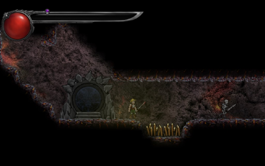
Last years Global Games Jam lead to the creation of Sacrificial Inferno. For those who don’t know, Sacrificial Inferno is a procedurally generated, permadeath, hack and slash, retro 2D platformer which we’re working on. As you can imagine I was pretty excited to attend again this year.

Initially, Marc and I agreed to team up but we ended up with a team of five shortly after arriving. Four programmers and an artist/sound-man. Shortly after the theme of ‘waves’ was announced, we toyed with a couple of ideas but ultimately ended up creating Stealth Shoal. Stealth Shoal turned out to be a terrible name for a game but the game itself went really well. The objective is to get as many fish to join your shoal as possible while avoiding islands, whales (navigate by sonar) and fishing boats. The whales are the primary link to the theme as they use sonar waves to locate the fish. Check out the video below.

This year we even managed to upload the game to the Global Games Jam website here.

The big team turned out to be an excellent idea as I learnt quite a bit by trying new things I otherwise wouldn’t. A smaller team would have lead us to create a comfortable game rather than pushing boundaries.

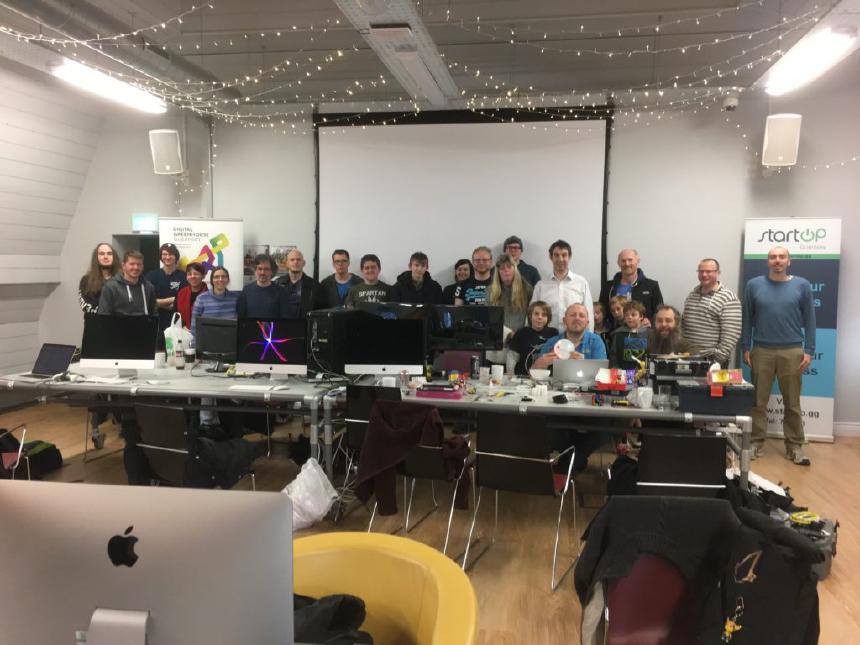
Thanks to the Digital Greenhouse Guernsey for hosting and Kurtis Richards and Marc Beavan for organising!


I've made some Blender abstract art Jan 10 2017

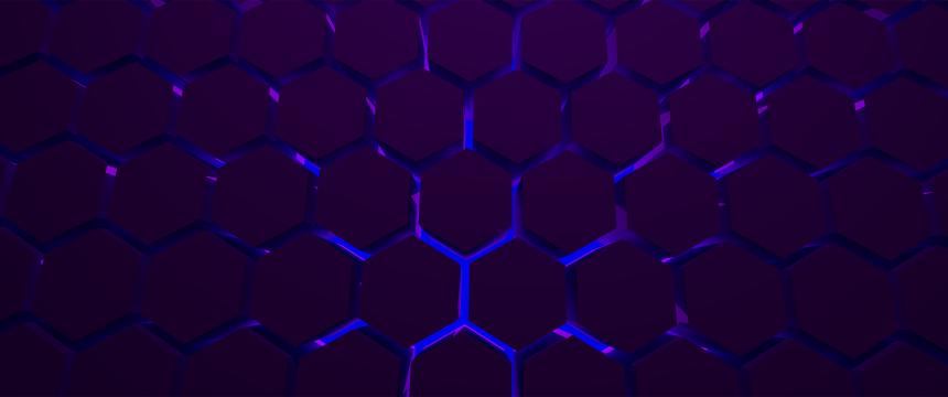
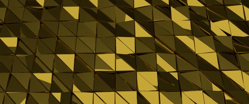
Recently I’;ve spent a lot of time learning Blender for game development and fancied experimenting with something a bit different. Below I’;ve linked to two abstract art type of renders that turned out pretty good. The purple one was meant to have volumetric lighting but sadly my AMD card didn’;t seem to want to render it. Fortunately it turned out okay.

Both are the ultra-wide resolution of 3440x1440 and available to do with as you please.


Creating height maps from SHP files Dec 15 2016

A while ago now, Digimap gave data.gg a SHP file containing elevation data for Guernsey, Sark, Alderney and Herm. Using this data, I’m going to place a WebGL widget on data.gg allowing users to fly around the islands. There’s two ways to approach this:

  • Create a height-map using the SHP data and generate game engine terrain using it. This would be done using geographic software to rasterize the data into a normal image (like a PNG) with white pixels representing high points and black pixels low (e.g. sea level).
  • Triangulate the XYZ points in the SHP file to create 3D meshes. This is done using an algorithm to join all the points together to form edges and faces. This post is going to be about the former method which is to create a height map, you can check out my post on the other method here. Both approaches have different pros and cons, the mesh approach may be more detailed while game engines (which is ultimately what the WebGL widget will be) will handle terrain better performance wise.

Thanks to Steve Streeting who helped figure out how to best process this data using GDAL.

Software

I’m going to be using GDAL (Geospatial Data Abstraction Library) commands which happen to come installed with QGIS desktop software for geographic data. You can install via either route – I went with QGIS because I can also use the software to view and edit the SHP file itself.

Generate a GeoTIFF

Taken from Wikipedia, a GeoTIFF is ‘a public domain metadata standard which allows georeferencing information to be embedded within a TIFF file’. Basically – we’re going to take our vector data and rasterize it, which is stored in a GeoTIFF. I’m going to use gdal_grid to convert the data, you could also use (and should try) gdal_rasterize. Both produced good results but as I have some gaps in the data, gdal_grid is more suitable because it can interpolate between the points (fill in holes).

'C:\Program Files\QGIS 2.18\bin\gdal_grid.exe' -ot UInt16 -outsize 1025 1025 -zfield ZVALUE -a linear:radius=300 .\bailiwickheight.shp height.tif

I’m specifying that I want the grid system to use the linear algorithm which uses Delaunay, the same triangulation algorithm I used to make the meshes in the other post. Despite this, my end result had some artefacts which I couldn’t figure out a reason for. I found that setting the outsize to be ludicrously large (e.g. 20000) minimized the artefacts to roughly 4 pixels, instead of 40, which I was able to sort out in Photoshop after.

Converting to RAW

gdal_translate converts our GeoTIFF into other formats. Unity wants a .raw for height maps.

'C:\Program Files\QGIS 2.18\bin\gdal_translate.exe' -ot UInt16 -scale -of ENVI -outsize 1025 1025 .\height.tif bailiwick.raw

Opening in Photoshop

Attempting to open the .raw file in Photoshop, you’ll see a window like below (the defaults will be wrong!). The screenshot shows the correct settings to open the file. Notice we’re using 16 Bits as we did when interacting with GDAL above.

Height map

Tada, one height map!

It’s important to note that getting good results here took me a lot of trial and error. This will depend on the quality and quantity of your data. Try all the algorithms available in gdal_grid until you find the best results.

You can also do this using the QGIS desktop software instead of the command line, if that’s your preference.


Previous Page: 9 of 13 Next